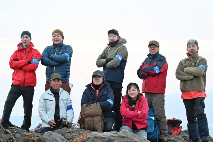
Kanoya-shi authorization mountain guide
This video introduces Mt. Naka-dake in I flat no Jinno district
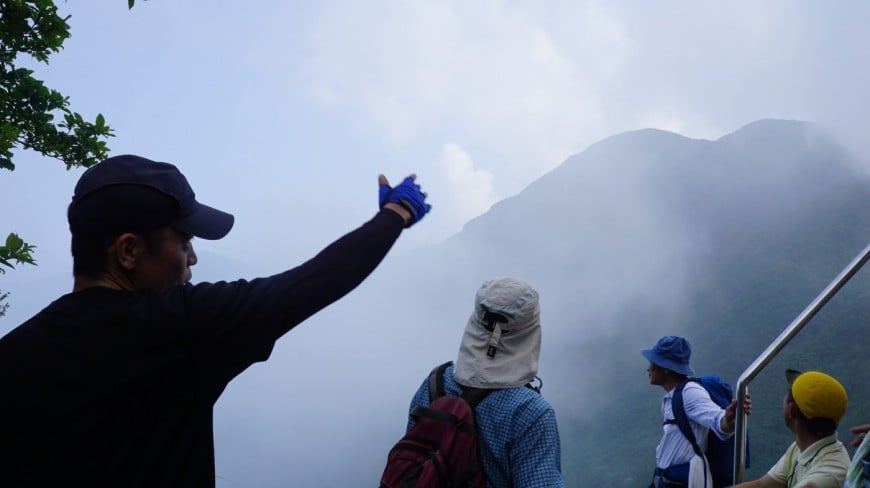
Kanoya-shi authorized guide and course to be able to go round
I guide a mountain representing Kanoya-shi.
① Mt. Takakuma Ontake mountain climbing course (coming and going: for about four hours)
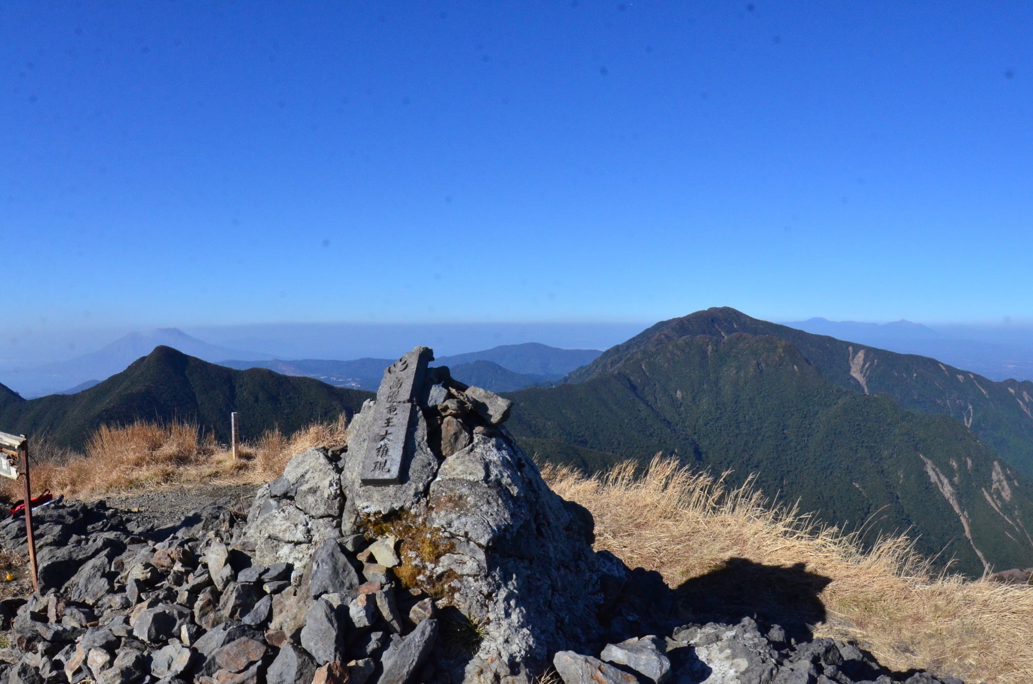
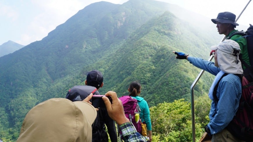
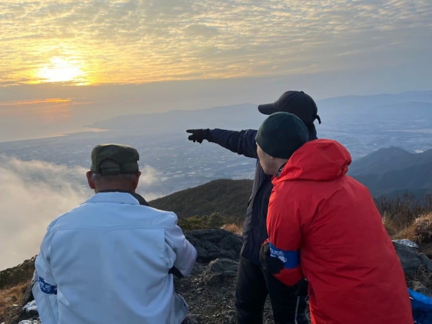
In the Takakuma Mountains which line of continues along Kagoshima Bay of the Osumi Peninsula central part, the peak of seven more than 1,000m ranges on the highest peak in Mt. large spatula pattern of 1,237m above sea level (onogaradake).
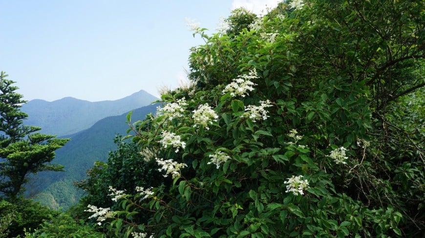
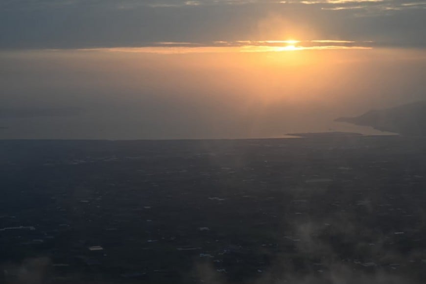
When Ryuo University honorific title of a Japanese god is enshrined, I am informed by the mountaintop Ontake in the second high mountain in 1,182m and Takakuma Mountains and say another name with Gongendake. The prospects from the top are 360 degrees and, let alone Takakuma consecutive ben, can see Kirishima Mountains, Sakurajima, Satsuma Peninsula, Kaimondake, Kimotsuki Mountains, Shibushi Bay.
Mt. Takakuma forms the unique forest ecosystem in a beech, a southern limit place of the Quercus crispula, and only 16 are appointed in "the forest living thing genetic resource preservation forest" which there is not in the whole country.
I aim at the top from the television tower lower starting point of a mountain climb (the fifth stage) to Ontake.
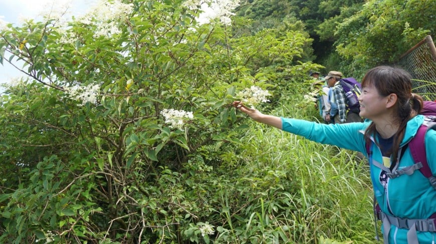
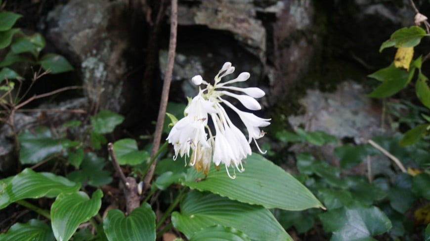
In addition, when it is September, the flower of the alpine plants such as hawk bear grayheaded cuckoos blooms, and mountaineers from the prefectural inside and outside are seen a lot, too.
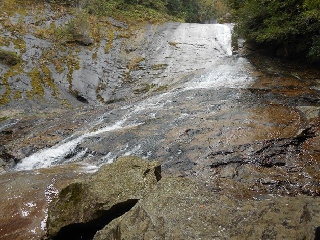
⓶ Takakuma Yamaman waterfall course (coming and going: for about five hours)
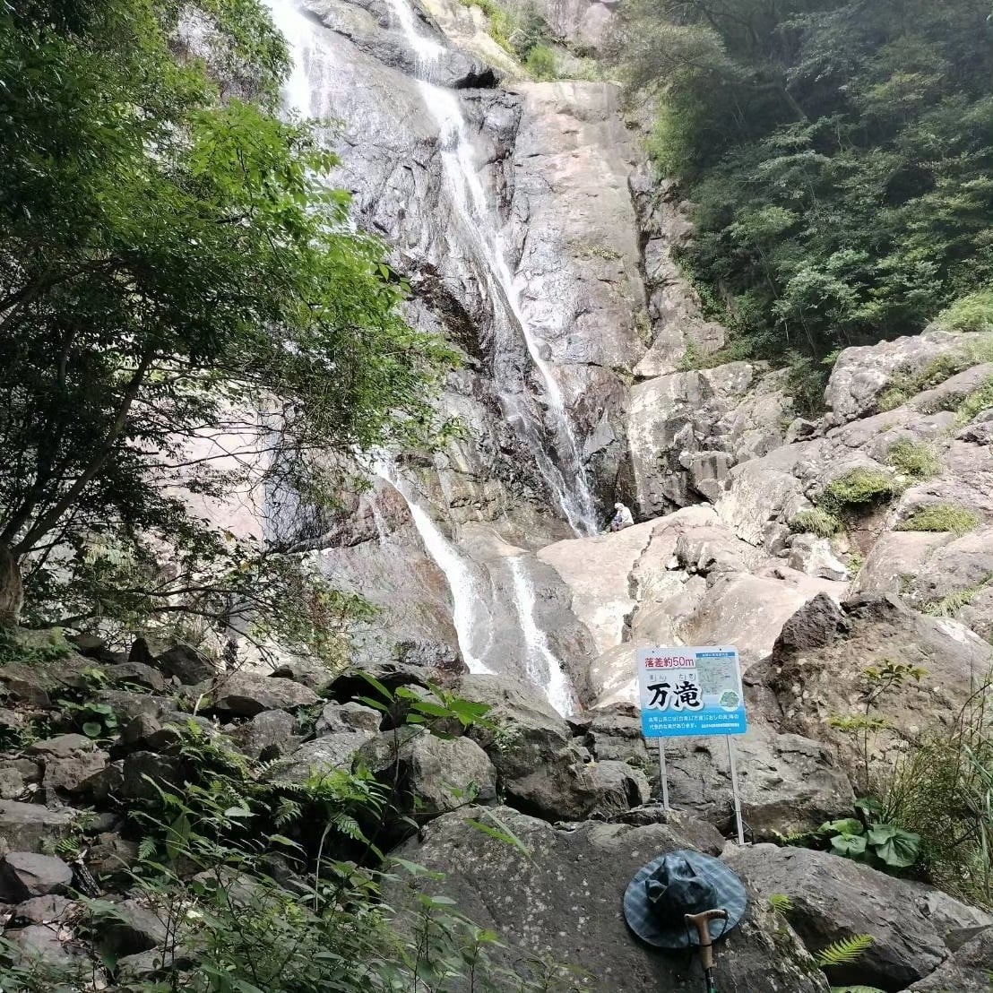
Ten thousand waterfalls are located to 530m above sea level of Mt. width and the south side Valley between heitake. The drop is also known as "Kurotaki" by about 54m, another name. It is characterized by a surface blackish rock (sedimentary rock).
I leave the campground of the house of national Osumi young people nature and can see the small shrine of the stone of Yamagami on the way when it is sharp and goes ahead through the 4-pronged way to the east side across a mountain (480m). Furthermore, it is arrival to ten thousand waterfalls when I advance along the high Sugawa upper reaches.
It is good that the way home leaves for the campground through Western Kinko Bay view course from the 4-pronged way.
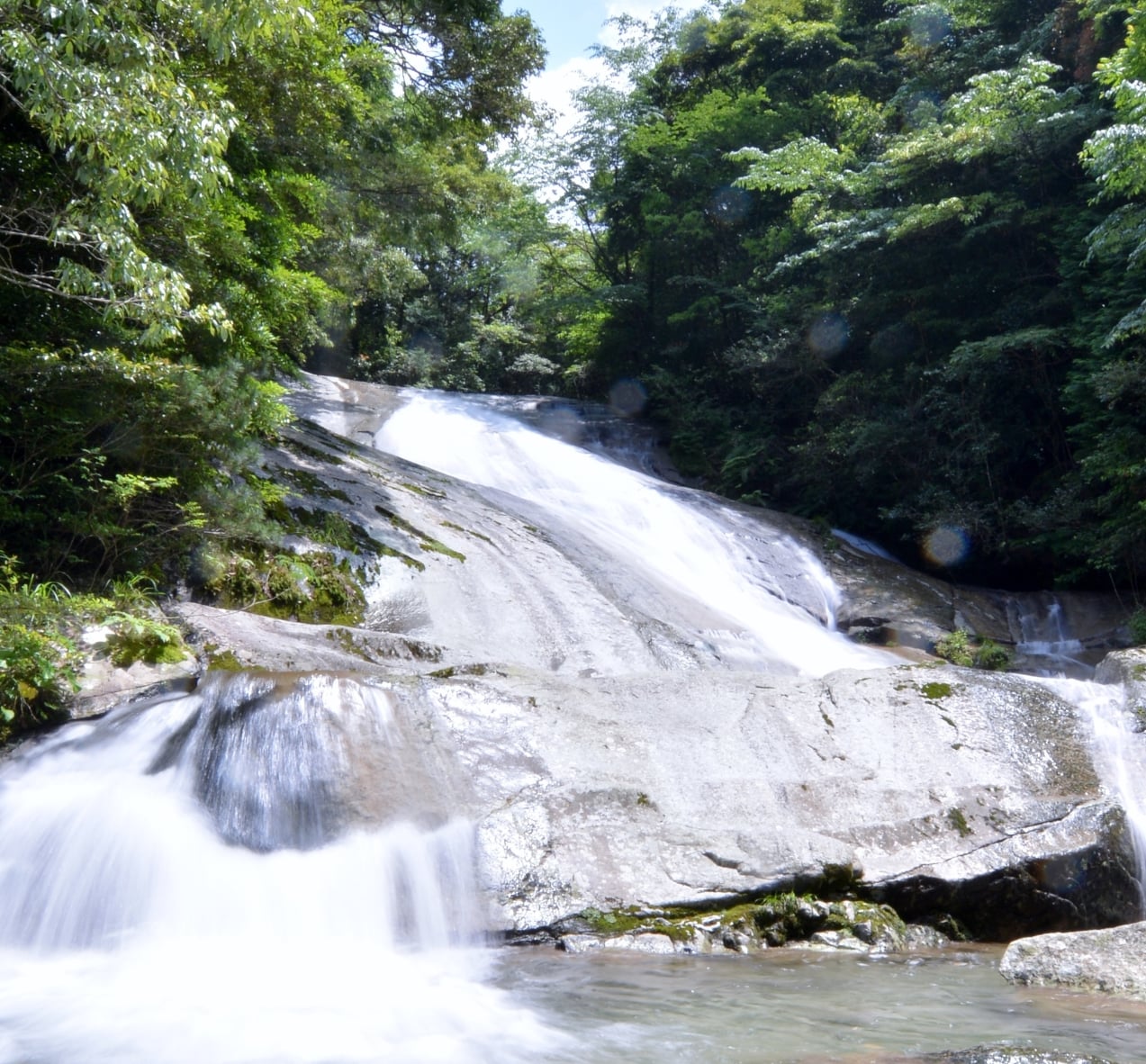
③ Mt. Takakuma foamy fall course (coming and going: for about three hours)
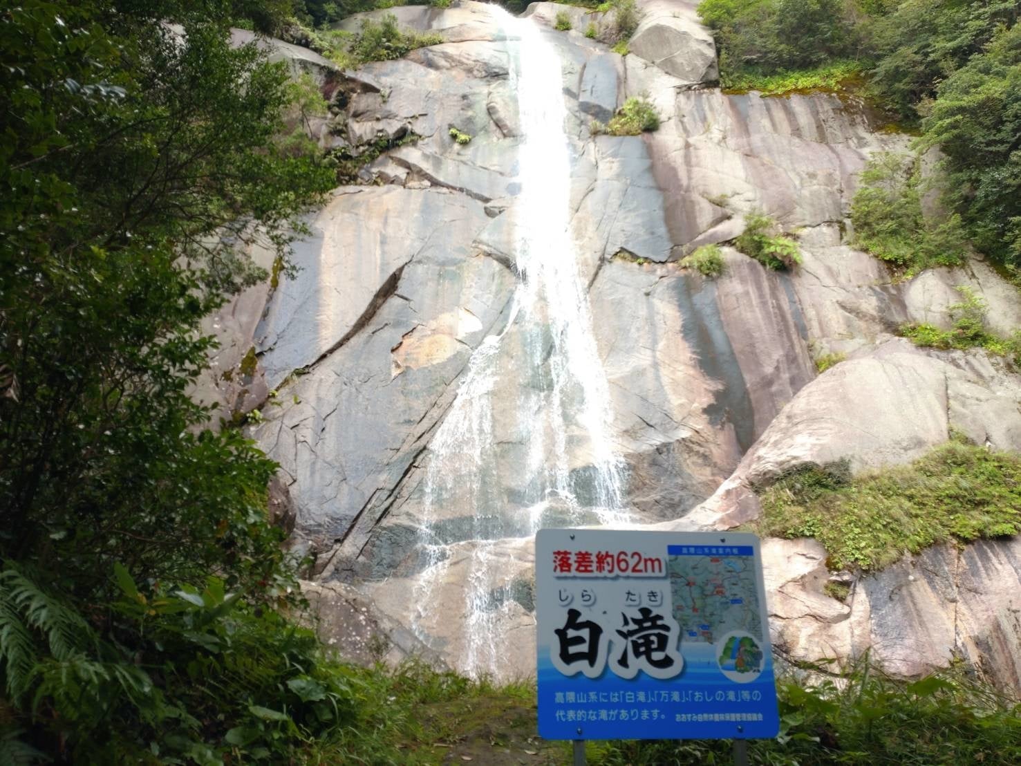
The foamy fall is located to high Sugawa upper reaches, about 600m above sea level of Mt. Futago and the south side Valley between heitake. In Takakuma Mountains's greatest waterfall, ten thousand waterfalls, Akamatsu waterfall, one of the foamy falls, the drop is about 62m. It flows through the waterfall.
The surface rock (granite) looks whitish, and a state of Takakuma Yamaji whom granite penetrated in a sedimentary rock at the time can call. The state to run in a monolith (granite) straight is a force perfect score in the best part.
I leave meikorebimakijo of the idyllic atmosphere such as the Alps of Switzerland and arrive at the foamy fall when I cross a log bridge and the bridge of the ladder on the way, and the promenade in the tree advances a little. A return can look at Kagoshima Bay, Kaimondake from an observation deck of meikorebimakijo if I look at the foamy fall. In addition, I leave Hanazato-cho, the water source, and I walk on the high Sugawa branch (the east side), and there is the course (coming and going: for about six hours) toward the foamy fall through a starting point of a mountain climb of meikorebimakijosoku, too.
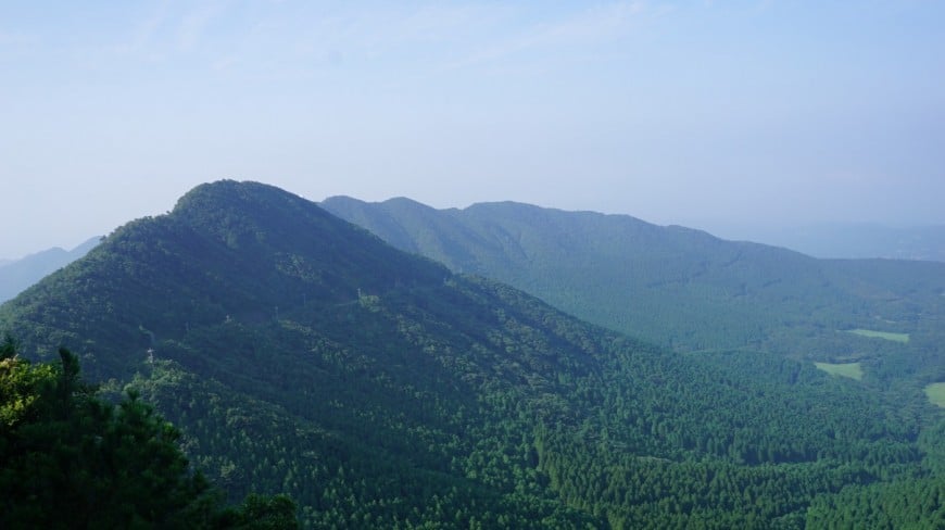
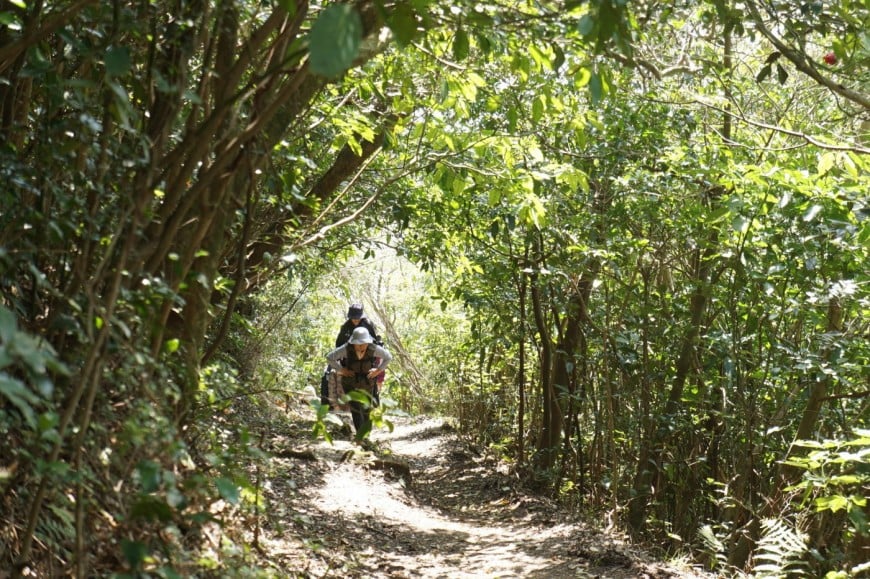
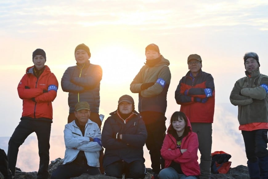
④I flat Mt. Naka-dake coming and going mountain climbing course (coming and going: for about four hours)
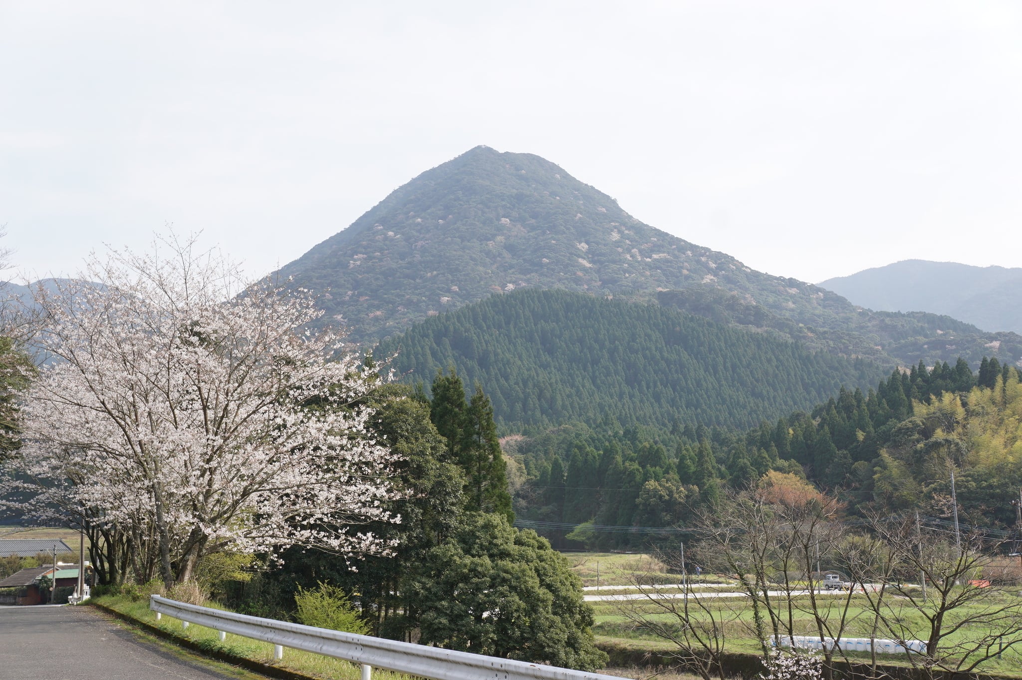
It is also called "I flat Fuji" "Fuji Jinno" in a conic beautiful-shaped mountain, and Mt. Naka-dake in the Jinno district of Airacho, Kanoya-shi becomes the local symbol.
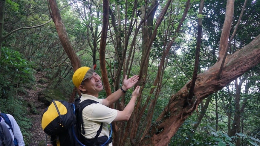
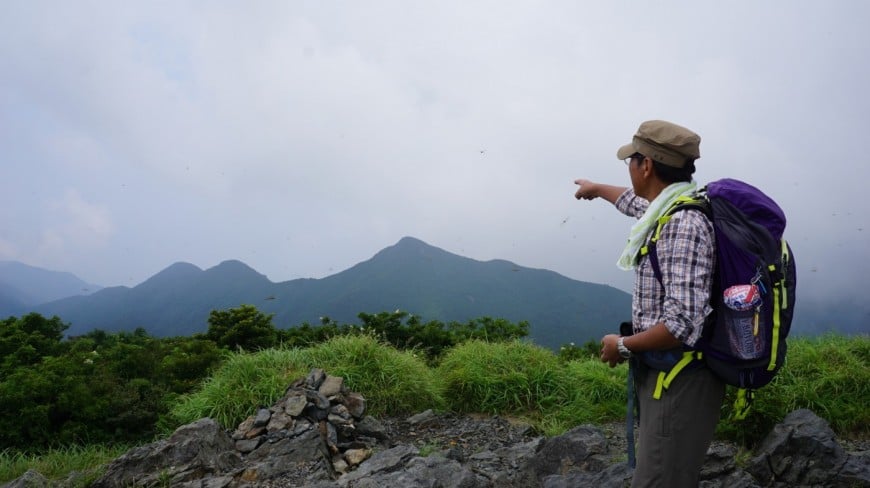
In addition, there are three peaks in Mt. Naka-dake and calls zentake (633m), Mt. Naka-dake (677m), a generic name of gotake (666m) "Mt. Naka-dake". Along the mountain trail of the neighborhood of second stage, there is the tree with the plate which a plant name was written and, from zentakesanitadaki, can expect Kimotsuki mountainous districts from Mt. Takakuma and Shibushi Bay, the Mt. Naka-dake mountaintop.
In addition, the whole mountain is stained with cerise with a wild cherry tree in the early spring, and neighboring rural sceneries and scenery fantastic in total are seen.
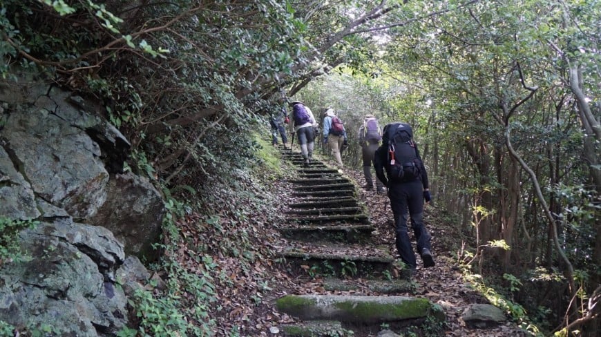
I aim at the top from the starting point of a mountain climb in front of the Airacho water purification plant through Shinto shrine in Okawa, starting point of a mountain climb this side parking lot from I flat nature park.
⑤ A waterfall rotates after the course, the mountain climbing around I flat Mt. Naka-dake; a course (go-around: for about six hours)
After the Mt. Naka-dake climbing, I leave the Aira River of the Kimotsuki River branch after the walking on the Okawa forest road passing through gotake.
"A waterfall of Ippommatsu" can secondly look thirdly at four waterfalls of "the waterfall of Tsuetate" worth seeing "a suicide attack waterfall" "the waterfall of the mandarin duck" last first when I walk in the north direction (starting point of a mountain climb this side parking lot) along the forest road whether you are serious.
⑥ Waterfall circulation course (coming and going: for about four hours) of I flat four
I leave the parking lot of the starting point of a mountain climb this side and I walk along Okawa forest road in the south side and become the course around four waterfalls of ⑤.
As it is a forest road course, it is recommended to the person who wants to see a waterfall slowly and carefully without minding time.
⑦ Mt. camp no Noboru Oka course (coming and going: for about four hours)
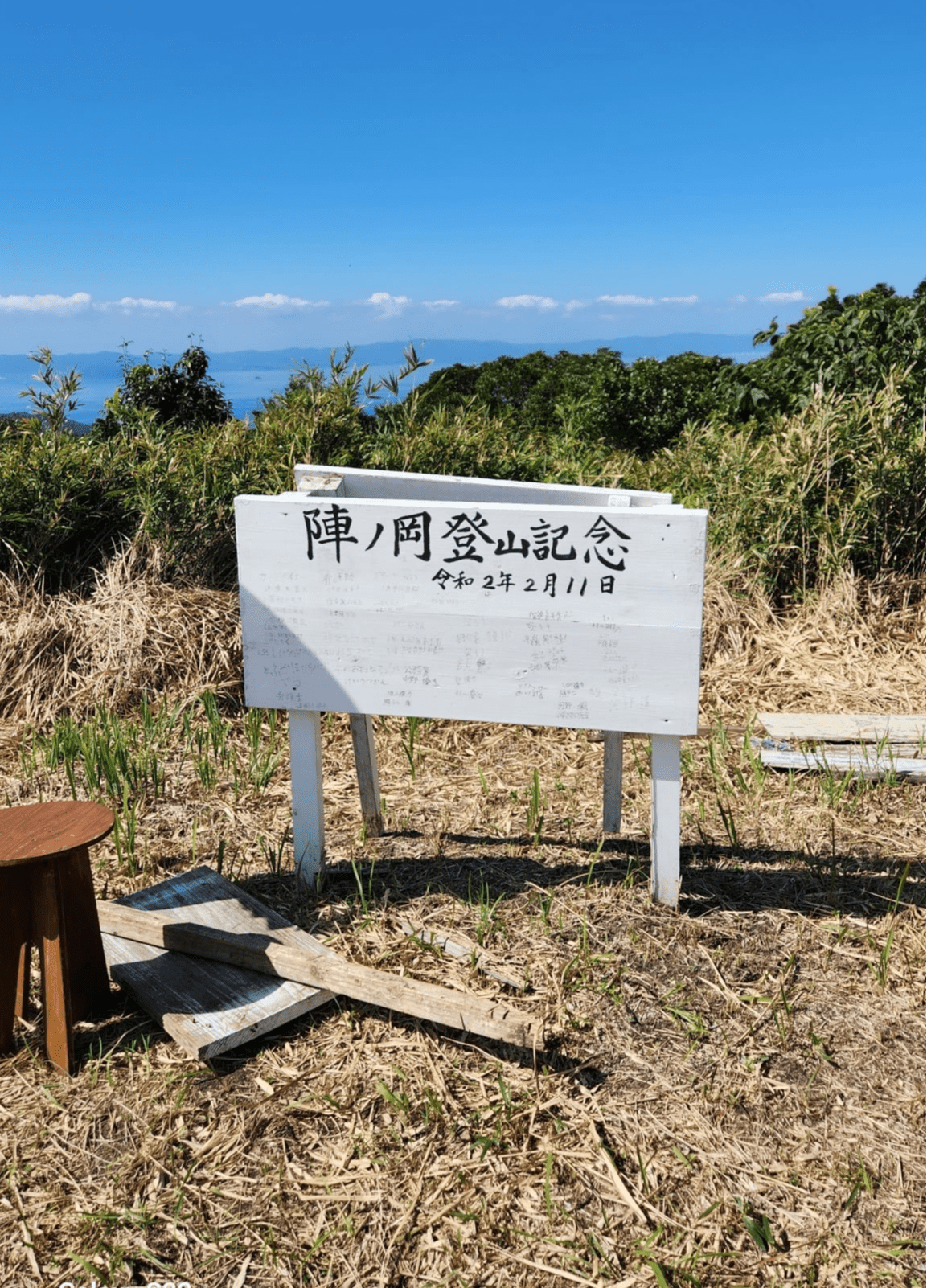
A mountain of 482m above sea level in the boundary of Kanoya-shi and Kinko-cho.
Six rest stations are established to one-way about 2km and can go up without unreasonableness while taking a rest.
The top is flat and it is wide and can overlook Kagoshima Bay, Kaimondake, Kimotsuki Mountains with about 200 square meters. In addition, in the mountaintop, in the neighborhood, it is said to the north and south morning service charges that there was a battle of Nejime and Kimotsuki at a place that there was a fort said to be camp no castle.
The departure from the Minamicho, Kanoya-shi exercise open space is common and becomes the course that it is easy to climb.
In addition, it leaves Mt. Yokoo (426m) park, and there is the course of about 14km for round-trip about six hours, too.
Rate
1 course 15,000 yen (the rate to three)
※In the case of the participation that is younger than three people, I charge 15,000 yen participation fee.
※Four people or more are 5,000 yen increase for each one person
※The guides charges such as a family or the group are consultation required according to the number of people
Meeting place
Kanoya-shi sightseeing product synthesis center
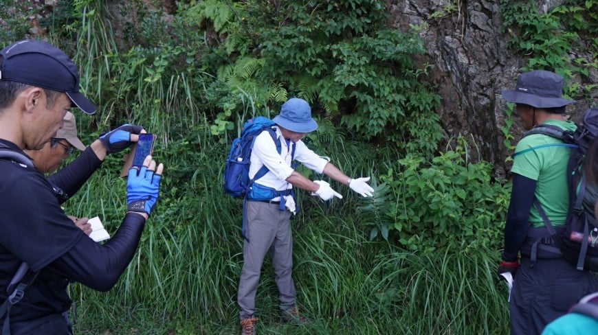
I prepare
Selection of tool is important to the mountain climbing!
We understand mountain and weather and oneself, and let's select a necessary thing.